
Iowa City ZIP Coverage
Six ZIP designations use Iowa City as the postal city in the official Iowa table. Four are standard delivery ZIPs. One is unique, and one serves post-office boxes. Those types matter because only a standard ZIP can sensibly frame a broad street or parcel search. Even then, an exact address must be checked. The state table identifies city, county, and ZIP type, but it does not draw municipal or neighborhood borders.
| ZIP | Areas Covered | Post Office | Notes |
|---|---|---|---|
| 52240 | Central and south examples, including S Capitol ranges | Standard | Verify each street range |
| 52242 | Iowa City addresses; campus use needs an address check | Standard | Do not infer an institution |
| 52243 | Single-use service | Unique | Not a neighborhood |
| 52244 | Post-office boxes | P.O. box | Not parcel geography |
| 52245 | Canton and N Capitol examples | Standard | Check odd, even, and ranges |
| 52246 | West and northwest examples | Standard | Precinct rows are more exact |
Nearby numbers can mislead. The same official table assigns 52241 to Coralville in Johnson County and 52248 to Keota in Keokuk County. Neither belongs in an Iowa City ZIP code directory merely because its number looks close.
Note: A postal city label identifies mail service, not a legal promise that the parcel lies inside Iowa City.
Iowa City ZIP Types Differ
The distinction between 52240, 52242, 52245, and 52246 on one hand, and 52243 or 52244 on the other, is more than a postal footnote. A unique code is assigned for a special recipient or use. A P.O.-box code routes mail to boxes rather than mapped homes. Searching those two codes as though they described whole neighborhoods would yield a false picture of Iowa City residents.
A common myth is worth clearing up: a ZIP code is not a resident roll. It is a mail-routing tool. Standard Iowa City codes contain many addresses, but sources that connect names to places are parcel records, lawful voter records, deeds, and other indexed documents. The ZIP narrows a search; it does not prove who lives there.
- ZIP code
- A five-digit postal routing code, not a city boundary.
- ZIP+4
- A more precise delivery segment attached to a ZIP.
- P.O.-box ZIP
- A code serving boxes rather than physical home sites.
- Unique ZIP
- A code assigned to one large recipient or special use.
- Carrier route
- A delivery path within a ZIP that can cross local map lines.
Verify an Iowa City ZIP
The safest postal check begins with the full delivery address. The USPS ZIP Code Lookup confirms the postal form. Compare it with the parcel municipality in the Johnson County map. This two-source check avoids assuming that a mailing label and incorporated city are the same place.
The official USPS screen below is the right start for a postal answer.
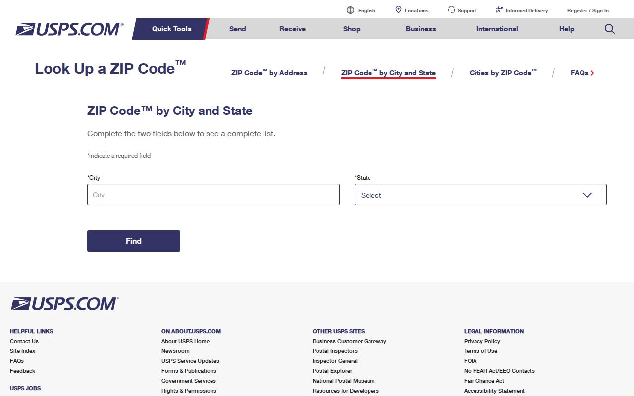
The result supplies postal evidence. Parcel and city records still control the local-government side of the address.
Find Iowa City Residents by ZIP
A ZIP code directory works best as a filter in a larger search. Iowa City's assessor form has no ZIP field, and the Property Information Viewer has no ordinary ZIP-wide box. The voter lookup asks for ZIP, but it also requires a name, house number, and full birth date. It confirms one registration and polling place, not everyone in the code.
- Verify the complete address through USPS, including its five-digit ZIP.
- Open the parcel map and confirm the site address, parcel number, and municipality.
- Use a portal that accepts ZIP only when its stated purpose fits.
- Keep the situs address apart from an owner's tax mailing address.
- Use the Iowa City street directory once the road is known.
This order prevents a mailing ZIP from being mistaken for physical residence. It also keeps a one-person voter check from being described as a bulk directory.
Iowa City ZIP Search Fields
Local and state systems handle ZIP information in different ways. The Iowa City Assessor supports house number, street, parcel number, legal description, and lot area, but not a visible ZIP filter. PIV searches addresses and parcels, then adds map selection and buffers. An EnerGov ArcGIS parcel-address layer exposes a ZipCode attribute, though that field is not a promise of a simple public ZIP-wide search.
| Official source | ZIP input | Result |
|---|---|---|
| Iowa voter lookup | Required with name, house number, birth date | One registration match |
| Iowa City Assessor | No ZIP field exposed | Address, PIN, legal, lot-area results |
| Johnson County PIV | No ordinary ZIP filter | Selected parcels and buffers |
| EnerGov ArcGIS layer | ZipCode attribute exists | Technical address data |
| Professional Licensing | City, state, ZIP | Filtered license results |
For voter data beyond one's own registration, Iowa uses certified forms and strict purpose limits. The Johnson County Auditor handles permitted local lists by jurisdiction, while statewide requests go to the Secretary of State. Neither is a casual ZIP roster.
Map Iowa City ZIP Records
The Johnson County interactive maps connect a verified address to parcel geography. Search by address or parcel number, open the popup, and retain the parcel ID and legal description. Those keys are more stable for record work than a postal label.
This captured page shows the official doorway to county GIS tools.
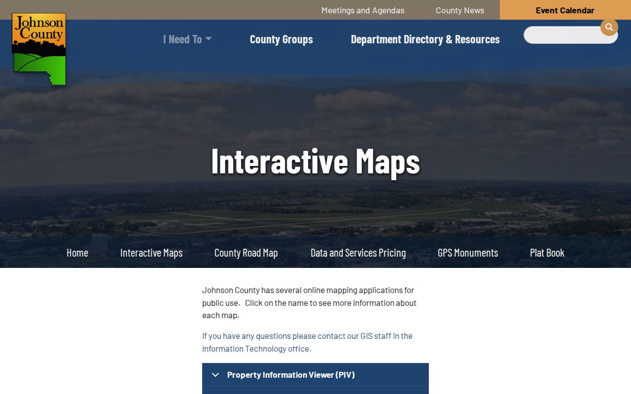
The map tests city, parcel, precinct, and postal claims separately instead of flattening them into one boundary.
Iowa City Parcel ZIP Layer
The city's EnerGov parcel-address layer documents a ZipCode field alongside address features. It proves ZIP data exists in the municipal GIS stack. Research did not confirm an easy screen that returns a complete resident list from that field, so treat it as a mapping resource, not a promised lookup.
The layer description can be inspected before any query.
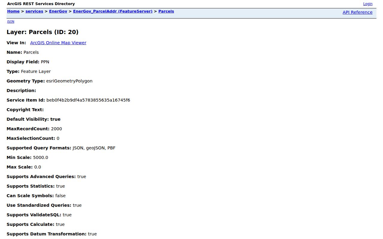
Pair the layer with USPS verification and PIV parcel facts. That combination is stronger than an inferred boundary.
Iowa City Address Divisions
Iowa City Code §16-1F-1 sets general number division lines. Iowa Avenue divides north from south, and Capitol Street divides east from west. That rule can explain why a street range falls in one part of the ZIP code directory. It cannot resolve every case. Old plats, railroad and river crossings, subdivisions, courts, lanes, directional prefixes, and former street names can depart from a simple pattern.
The county precinct and street directory is more precise for a known road. Rows include street name, address range, odd or even side, precinct, city post office, and ZIP. One road can cross ZIP or precinct lines. Copy the exact row rather than extending one observed code to the full street.
Note: Iowa Avenue and Capitol Street guide numbering, while the recorded plat and parcel remain stronger address identifiers.
Iowa City ZIP Population Context
Population totals show why boundaries matter. The 2020 incorporated-city count was 74,828, while the Iowa City urban area count was 126,810. The larger figure describes built-up geography, not municipal limits. Neither total equals the population of the six postal categories.
The same caution applies to neighborhood names. Longfellow, Northside, Eastside, South District, Shimek, Wonderful Westside, and Wylde-Weeber are useful community areas. They are not postal boundaries or legal subdivisions merely because an address falls within them. A careful Iowa City ZIP code directory preserves each label for what it is.
Iowa City ZIPs Versus Limits
City limits, Johnson County, postal cities, ZIP boundaries, schools, voting precincts, association areas, and parcel tax districts are separate geometries. A standard Iowa City ZIP may include an address beyond the city line. A city-edge parcel may use a neighboring postal city. An owner's mailing address may carry a different ZIP from the parcel's physical, or situs, address.
Boundary check. Confirm postal routing with USPS, then confirm parcel municipality and site address through PIV before drawing a city-level conclusion.
When online tools fail, contact city or county GIS staff, ask the Johnson County Auditor about the precinct/street directory, or file a narrow Iowa Open Records Law request. Include the house number, street spelling, parcel ID, desired record, and date range. Those access channels offer a sound fallback without claiming one ZIP-wide index exists. Save a mailed reply or staff answer with the source office and request date. If it supplies a parcel number or legal description, carry that stable key into the assessor, PIV, and Recorder searches. If it supplies only a postal label, verify the physical address again before associating a person with Iowa City. This small final check prevents postal routing from becoming an unsupported claim about residence, ownership, precinct, school district, or neighborhood.