
Iowa City Neighbor Record Sources
No single public roll lists every person on an Iowa City block. Each official source answers a narrower question. The Johnson County Property Information Viewer, or PIV, maps parcels. Assessor cards show the deed holder and tax mailing address. Recorded deeds and plats explain title and subdivision ties. Voter sources confirm a known person under Iowa's access rules. The city association map identifies a community area, not its members.
| Source | What It Shows About a Block | Access |
|---|---|---|
| Johnson County PIV | Parcel lines, site addresses, owner/legal popup, map layers | Public map, buffer, CSV; no household roll |
| Assessor cards | Owner, mailing address, class, value, building facts | Public property record |
| Recorder deeds and plats | Transfers and lot or subdivision ties | Online index/images and office help |
| Voter sources | A known registration or permitted list data | Identity fields or certified request |
| Neighborhood map | Association boundary and contact | Public map; no member roster |
| ICPL directories | Past householders or phone subscribers | Historical, year-specific access |
Ownership and residence are not the same. A tax mailing address may be elsewhere, and a deed holder may not occupy the site. Renters, relatives, roommates, and other household members are not supplied by a parcel popup.
Click Iowa City Adjacent Parcels
Use the Johnson County PIV to move outward from the subject lot. Search the address or parcel number, confirm the parcel polygon, and save its legal description. Zoom close enough to click each parcel sharing a line or corner. Its popup and Attribute Table can provide a parcel ID, site address, owner name, and legal description.
A simple process keeps the block research clear:
- Search one address and confirm the highlighted polygon.
- Click each adjoining polygon and save its PIN and site address.
- Check each parcel in the correct assessor system.
- Use the Recorder when title or a plat relationship matters.
- Date every result because ownership and map layers change.
PIV is the bridge, not the deed chain. The Iowa City street directory carries the search farther when the goal expands from the immediate block to the full named road.
Buffer an Iowa City Block
PIV's Enhanced Search offers an insider method for a defined radius. Open By Spatial, enter a distance, choose Parcels, select the intersected-by relation, and apply the search to the buffer graphic. The help example uses 200 feet. Results can be highlighted in the Attribute Table, sorted, and exported through Attribute Table Options to CSV.
A buffer does not mean every selected property is a neighbor in a social sense. It simply identifies parcel polygons touched by the chosen spatial rule. Save the distance, relation, fields, and access date so another person can understand what the exported rows mean.
Map tip. Clear old results and buffer graphics before starting another Iowa City address, or parcels from two searches may appear together.
Check Iowa City Parcel Owners
Inside city limits, the Iowa City Assessor Parcel Search accepts parcel number, DBA, physical house number, street name, legal description, and lot-area limits. It does not expose an owner-name field or ZIP filter in the inspected form. Use the PIN captured from PIV when possible. The city form also offers a city-street-only checkbox and a parcels-with-photos choice.
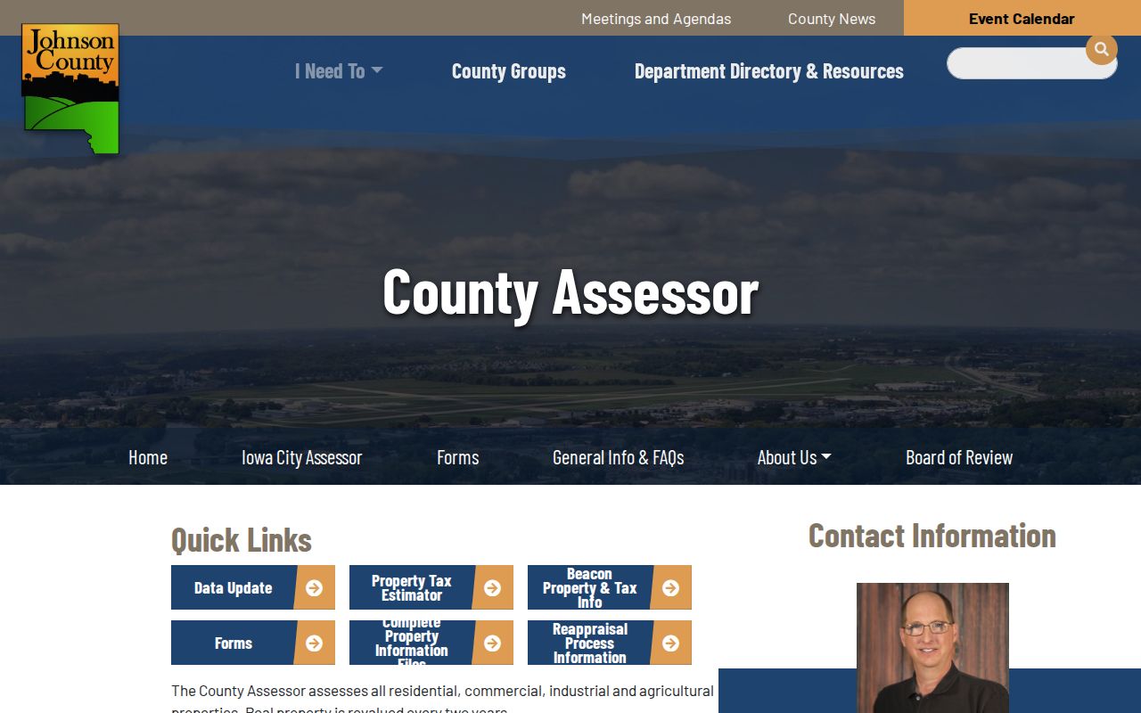
The Johnson County Assessor page below is a useful route to county property tools and Beacon context.
Read site address and owner mailing address as separate fields. Neither field proves every occupant of the parcel, and an exemption or class should not be stretched into a full household claim.
Iowa City Block Deeds and Plats
Parcels along one Iowa City block may share a subdivision, lot pattern, easement, or earlier tract. The Johnson County Recorder's real-estate search ties an owner name or legal description to recorded instruments. Local images begin in January 1840, while local online name indexing begins in November 1983. Those dates describe different forms of access.
For older name work, ask Recorder staff about books and images, use legal descriptions, or consult Iowa Land Records Search 2.0. In-person office access and a focused request can fill gaps left by the web index. A grantor is the party giving an interest; a grantee receives it. A plat is the recorded map defining lots or tracts.
The county's PropertyCheck service can alert a subscriber when a document is recorded under a chosen name. Its official screen is shown here.
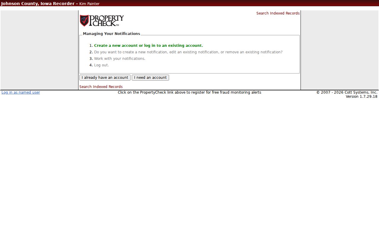
An alert can flag new activity, but it does not confirm occupancy or replace review of the recorded instrument.
Iowa City Neighborhood Contacts
The Iowa City Neighborhood Outreach program says 33 official associations have formed since 1997. Its map can take an address and return an association name or boundary, though some addresses fall outside any association. Volunteer contacts help with meetings and local projects. Membership is voluntary.
Neighborhood Association Council
Umbrella network for Iowa City associations. Meetings are generally quarterly or as needed.
Communications Office
EngageIC@iowa-city.org
319-356-5058
Formal HOAs
Check a filed entity through the Iowa Secretary of State business search. The city does not control private HOA rules.
Named associations include Longfellow, Northside, Eastside, South District, Shimek, Manville Heights, Wonderful Westside, Wylde-Weeber, Lucas Farms, and several formal HOAs. The list supplies community contacts, not a roster of Iowa City neighbors.
Iowa City Neighborhood Activity
The Program for Improving Neighborhoods, or PIN Grant, offers up to $3,000 per project for work open to the Iowa City community, inside city limits, and on public property. Grant notices can document current civic interests, events, and improvements. They do not identify everyone who lives in the area.
Goosetown and Manville Heights also carry strong historical context. Johnson County Historical Society materials cover Goosetown families, correspondence, and photographs from roughly 1880 to 1950. City material links Manville Heights with 1920s Chautauqua gatherings and nearby rail lines. Use those clues to search a named street and year in archives, then return to plats and deeds for parcel facts.
Note: Community geography can change while recorded lot lines remain, so retain both the association name and parcel legal description.
Iowa City Neighbor Voter Limits
The Iowa voter lookup requires first and last name, ZIP, house number, and full date of birth. It can confirm registration and polling information for a known person. It is not an address-only list of neighbors, and participation data never reveals ballot choices.
Johnson County Auditor/Elections maintains local voter records and accepts the official voter-record request form. Permitted list requests require requester details, intended-use certification, jurisdiction, status choices, format, signature, and payment. Iowa law restricts use. Safe at Home participants are not visible in the ordinary system and vote through protected procedures.
If a public lookup does not match, check exact spelling, ZIP, house number, recent moves, and the election office. Do not probe for a protected address. The proper fallback is the Auditor's office and its lawful form, not a commercial block list.
Iowa City Neighbors: Official or Commercial
Official records and commercial neighbor tools serve different roles. Official systems disclose a limited fact held by a named custodian. Commercial tools combine many feeds, may lag behind moves or ownership changes, and can merge people with the same name. Payment does not turn an estimate into an official record.
| Question | Official record | Commercial category |
|---|---|---|
| Who owns a parcel? | Assessor, Recorder, PIV | May repeat stale source data |
| Who occupies a home? | No complete public household roll | May infer or combine names |
| What association covers it? | City boundary map | Coverage may be unclear |
| Can a fact be certified? | Ask the record custodian | Generally no |
Date every finding and preserve the source URL. Correct the search at its official source when possible rather than treating an aggregated profile as final.
Historical Iowa City Neighbors
The Iowa City Public Library's local-history collections include city directories, telephone books, maps, newspapers, and indexes. A historical street section or criss-cross format may place a householder or subscriber at an address in a stated year. That is a dated snapshot, not proof of a present occupant. Ask library staff for the exact volume and preserve its title, year, page, and abbreviation key.
Current congregation, block-watch, and civic-club rosters were not found as public directories. Historical group references appear in the 1922 city directory and local archival holdings. A sound request names the group, date, person, and street, then asks whether the answer comes from an index, scan, finding aid, or staff research.
Privacy for Iowa City Neighbors
A parcel map can show boundaries, ownership fields, zoning, flood, voting, aerial, or subdivision context. It does not show everyone inside a dwelling, who receives each piece of mail, or which utility account serves the home. Utility and delivery details are not an open neighbor directory. Iowa Safe at Home also provides substitute-address and confidential voter procedures for eligible protected people.
Lawful use. Use Iowa City neighbor records for civic curiosity, reconnection, property research, and personal safety. Never watch, harass, threaten, or expose another person.
Iowa Open Records Law requests remain subject to exemptions, redaction, and reasonable costs. Ask narrowly for a known public record, its date range, and its custodian. When a field is withheld, do not try to reconstruct protected data from other sources. A reliable neighbor search stops where official access and another person's safety require it to stop.